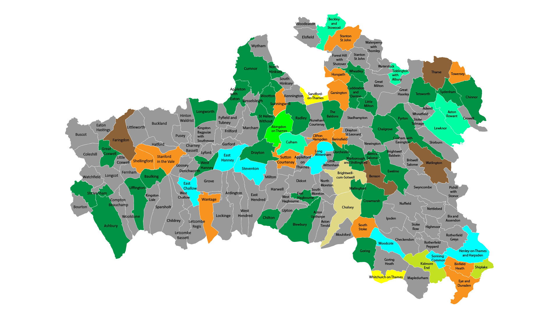
Neighbourhood plan areas
Goal: Understanding the districts
Neighbourhood plans form part of the statutory development plan. They are prepared by local communities to develop a shared vision for their area. Their aim is to shape, direct and help to deliver sustainable development at a community level.
When designing you should refer to the relevant Neighbourhood plan for that area (if the area has a plan adopted) and use the plan to inform your design process. Neighbourhood plans can contain design policies. These should be followed unless material considerations indicate otherwise.
Below is a map of all the current neighbourhood plan areas for South Oxfordshire and Vale of White Horse districts. To see the current neighbourhood plans and their status click on the map below. To see more information about South Oxfordshire and Vale Neighbourhood planning see:
Neighbourhood planning: South Oxfordshire
Neighbourhood planning: Vale of White Horse
For related information see: South and Vale public GIS website
Neighbourhood Plan areas map for South Oxfordshire and the Vale
Key:
