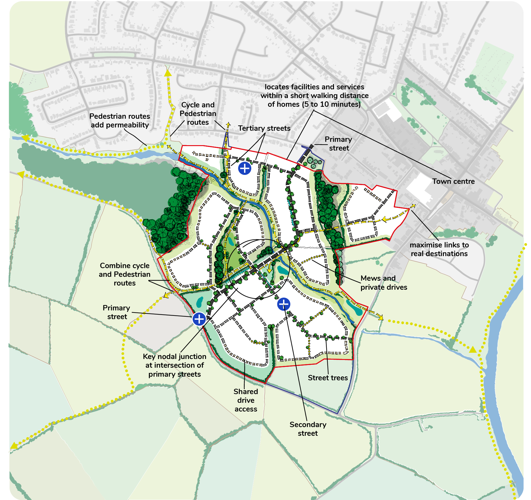
Creating a network

Goal: A place that is easy to get to and move through for all users

  p36. When creating a network of paths and streets, remember that these are some of the most permanent features of our built environment. The street network needs to cater for different modes of transport and different users.

  p37. Designers are always keen to promote sustainable transport choices. Through design, we can encourage people to make more active and sustainable transport choices. There is often a misconception that the best way to prioritise walking and cycling is by restricting the movement of cars, using cul-de-sacs for example. However, this commonly results in a more engineered, car dominant environment. It is also land inefficient and causes confusion and frustration. Connected environments work best for all users and all modes of transport. In designing, when we refer to all users, we mean everyone who could live, work, or visit the development. This includes people with disabilities, parents, carers, pregnant women, children and older people.

  p38. Prioritising walking and cycling should be addressed as part of the design of the streets rather than simply reducing the connectivity of the development. By avoiding cul-de-sacs, you will provide people choice of movement. By offering options for movement, traffic gets dispersed. Think about different users’ experience as they travel through the site (e.g. blank façades or rear boundaries in the public realm do not provide an attractive experience from a pedestrian point of view). Think about who your users are and how they are likely to use the space throughout the day.

Figure 10

  Figure 9:
A disconnected network provides little choice and often results in longer routes between desired locations

 Figure 11

  Figure 10:
A connected network provides multiple choices and often results in shorter routes between desired locations

Identifying street patterns

Icon Organic / historic street pattern
Icon Semi-formal street pattern
Icon Formal street pattern
Icon Other street patterns

  Figure 11: Street patterns

Working with street patterns

Icon Locate site
Icon Identify existing street pattern
Icon Design street pattern within the site
Icon Ensure development retains character and permeability

  Figure 12: Providing a network of connected streets

Steps

Inform your design:

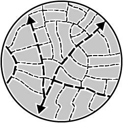
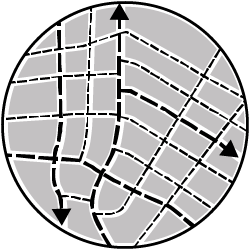
Identify the travel characteristics of the existing site, including pedestrian and cyclist movements and infrastructure;

Locate existing public transport provision, including provision/frequency of services, location of bus stops/train stations, park-and-ride facilities;

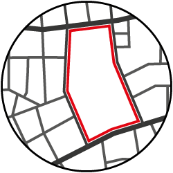
Identify the classification of the highway network in the vicinity of the site.

Communicate your design:

Provide a Transport Statement and accompanying plan;

Prepare a Transport Assessment following an appropriate scale of transport survey in relation to the scale of development;

To see whether your proposal requires a Transport Statement or Transport Assessment check the thresholds found in Appendix 1 of Oxfordshire County Council’s Transport for New Developments, Transport Assessments and Travel Plans (2014).

Support your design:

Manual for Streets 1 (DfT, 2007)

Manual for Streets 2 (ICHT, 2010)

Oxfordshire Streets Design Guide (Sep 2021)

Building for a Healthy Life (2020)

Designing Shared Space, (Landscape Institute, technical Information Note, 2019)

Local Transport Note 1/20 Cycle infrastructure design (Department for Transport, 2020)

Oxfordshire County Council Transport for New Developments: Transport Assessments and Travel Plans March (2014)

SUSTRANS, Walking and cycling infrastructure design guidance

Sight Line: Designing better streets for people with low vision (DC, CABE 2010)


Photo
Traditional tree lined street (Nuneham Courtenay)
Photo
Retain green routes and links
Photo
Provide routes and infrastructure for cycling and pedestrians
Photo
Shared surface and tree planted boulevard (Didcot)

Ensure the scheme:

    1. has a network of streets or paths/integrated cycleways that connect with each other; creating an attractive choice of routes for all users and all modes of transport (20-minute neighbourhood); prioritising the needs of pedestrians, people with disabilities, cyclists, equestrians and public transport users over the needs of motorists within the network;
    2. has a clear and logical order of street, (often referred to as a ‘street hierarchy’) that use a range of street types. These can be identified by their differing features including their width, enclosure, frontage, parking arrangements, how connected they are to each other, range of uses, landscaping and materials;
    3. connects to existing streets, cycle and walking paths (including public rights of way), creating direct, safe (consider surveillance, sight lines, lighting) and attractive links for all users whilst avoiding ‘cul-de-sac’ layouts. Where applicable avoid single point of access (particularly for large developments);
    4. provides links to neighbouring allocated land that could be developed in the future making them an integral part of the street network and hierarchy;
    5. provides direct pedestrian and cycle links to local services and facilities that are convenient and follow natural desire lines, and uses the features identified in the opportunities plan to create visually interesting and attractive routes;
    6. maintains priority for pedestrians and cyclists, designing people-friendly spaces;
    7. locates facilities and services within a short walking distance of homes (800 m) and provides easy access for existing and new residents;
    8. provides bus stops within a five-minute walk (400m) of homes, is preferably 600m from a primary school and 1500m from a secondary school, and where possible, close to local services and facilities;**
    9. includes wherever possible accessible wayfinding/signposting to be installed to promote movement on foot/bike/active travel.

Note: All design principles are applicable to all scales of development unless otherwise specified; *minor applications, **major applications